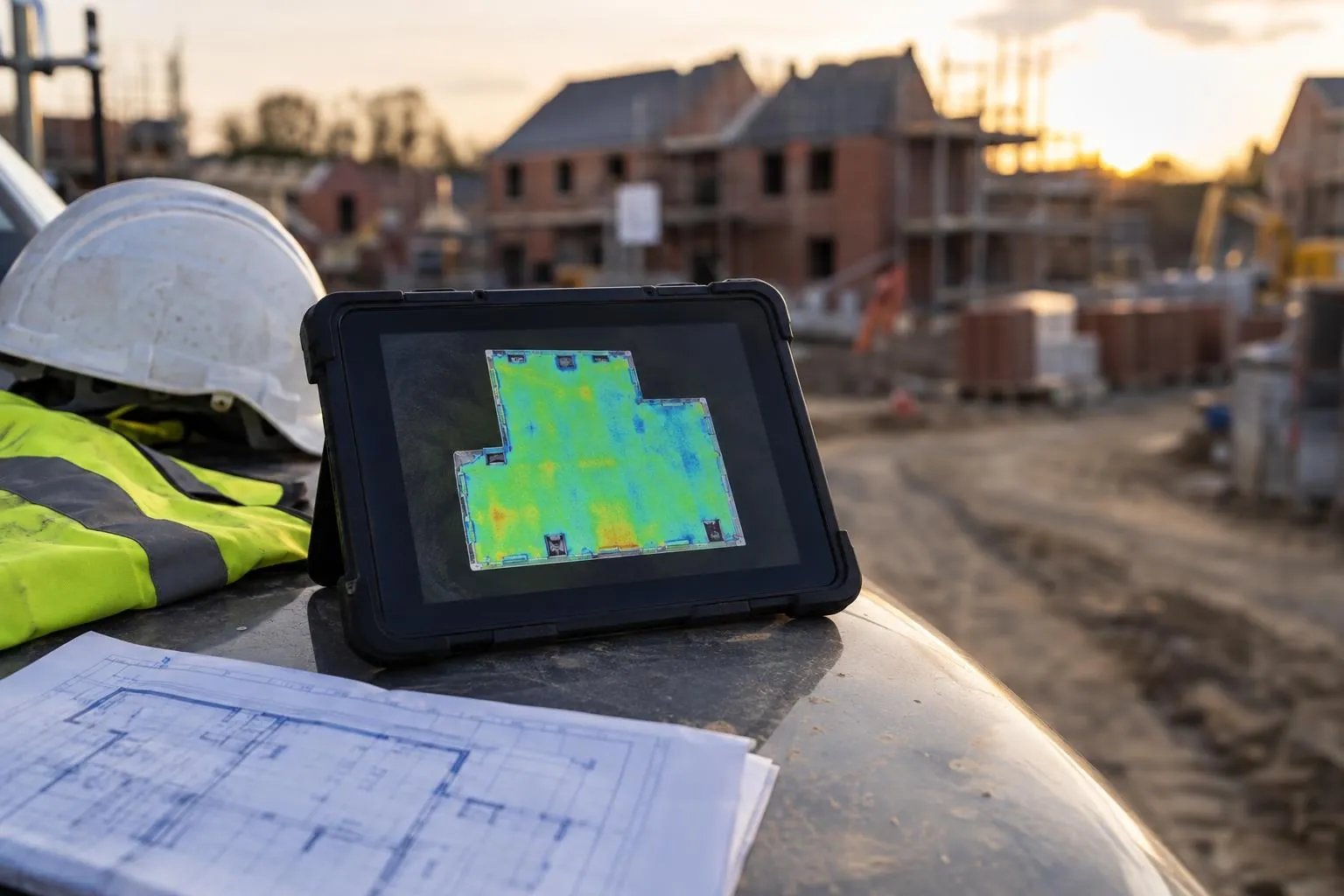
Road & sub-base scanning
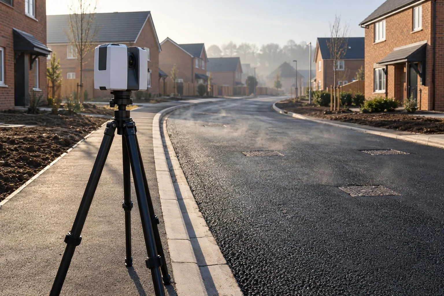
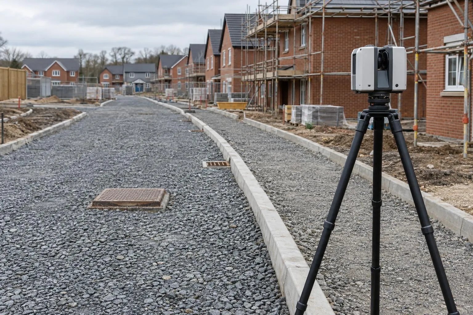
Sub-base and binder checked against the road design before the next layer goes on.
Garden & landscape scanning
Design the garden on real levels. We scan the whole plot, from the damp-proof course to the back fence, and give your designer or landscaper a scaled levels plan, a 3D model and the point cloud.
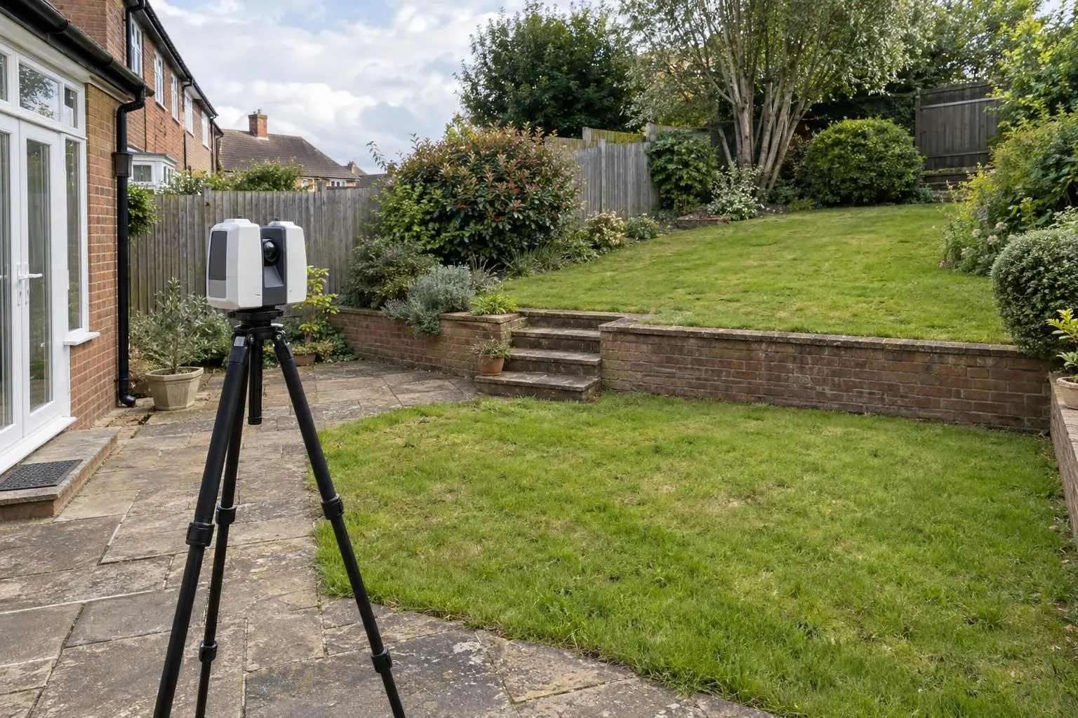
In short: a garden scan measures every surface in the garden in 3D. You get a scaled plan with spot levels and contours, the house's damp-proof course height, walls, steps, trees and drains, plus the full point cloud. It is the starting point for a design that actually works on the ground.
Most garden builds that go over budget do it underground: more excavation than expected, a retaining wall that has to be taller, drainage that wasn't planned, or a patio that ends up too close to the damp-proof course. All of those come from levels nobody measured properly.
With a scan, the designer sets patio and lawn levels from real numbers, steps come out even, wall heights are known before pricing, and excavation and muck-away can be calculated rather than estimated. The landscaper prices what will really be built.
The same survey works for a front garden or driveway: falls to the road, the dropped kerb, manholes, the house's damp-proof course and the boundary walls. It is the information you need to design a drive that drains away from the house.
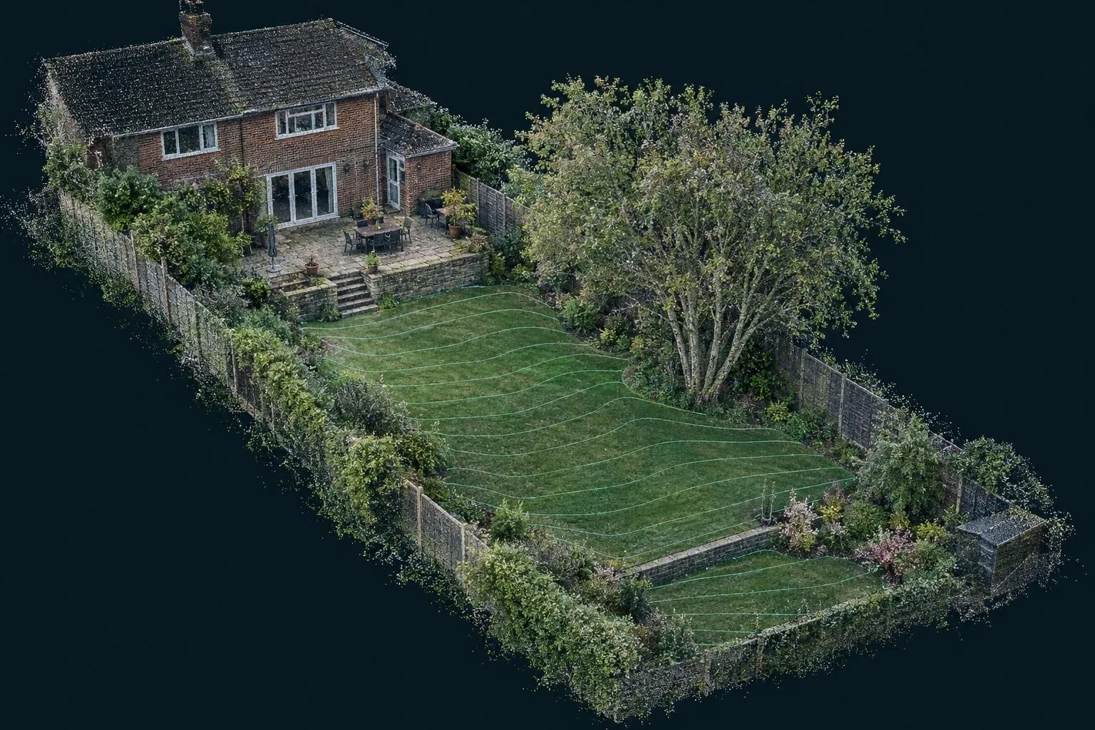
Design on accurate levels from day one and show clients their garden in 3D.
Price excavation, walls and steps from real quantities, not a guess.
Get one accurate survey you can hand to every designer or contractor you talk to.
Existing levels and boundaries for planning drawings, garden rooms and extensions.
Got a survey of the garden already? If the garden or site has already been scanned or surveyed, we can produce the levels plan and contours from that data for your designer, without another site visit. See reporting from your survey data.
See the garden scan cost guide for prices.
Sub-base and binder checked against the road design before the next layer goes on.
Before-and-after scans that map the thickness actually laid, across the whole road.
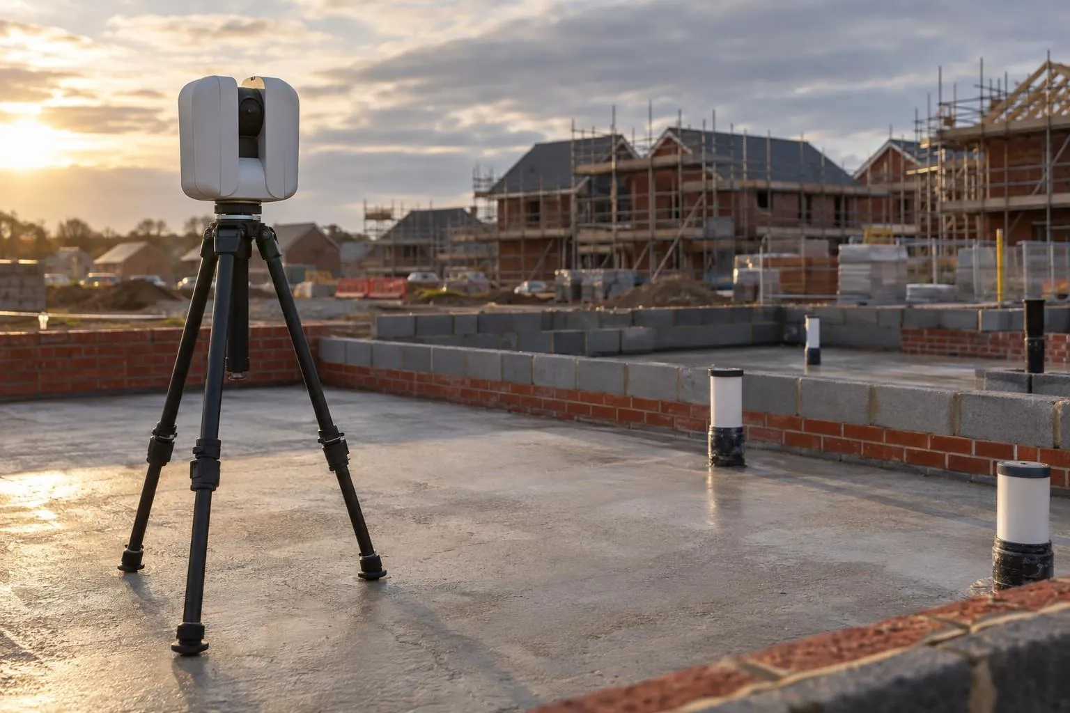
Slab flatness, brickwork to drawing and drain collar positions, checked plot by plot.
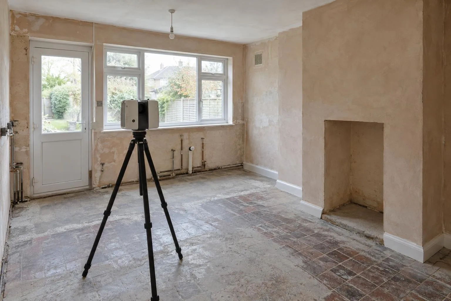
Millimetre-accurate scans of rooms and buildings for kitchens, extensions and interiors.
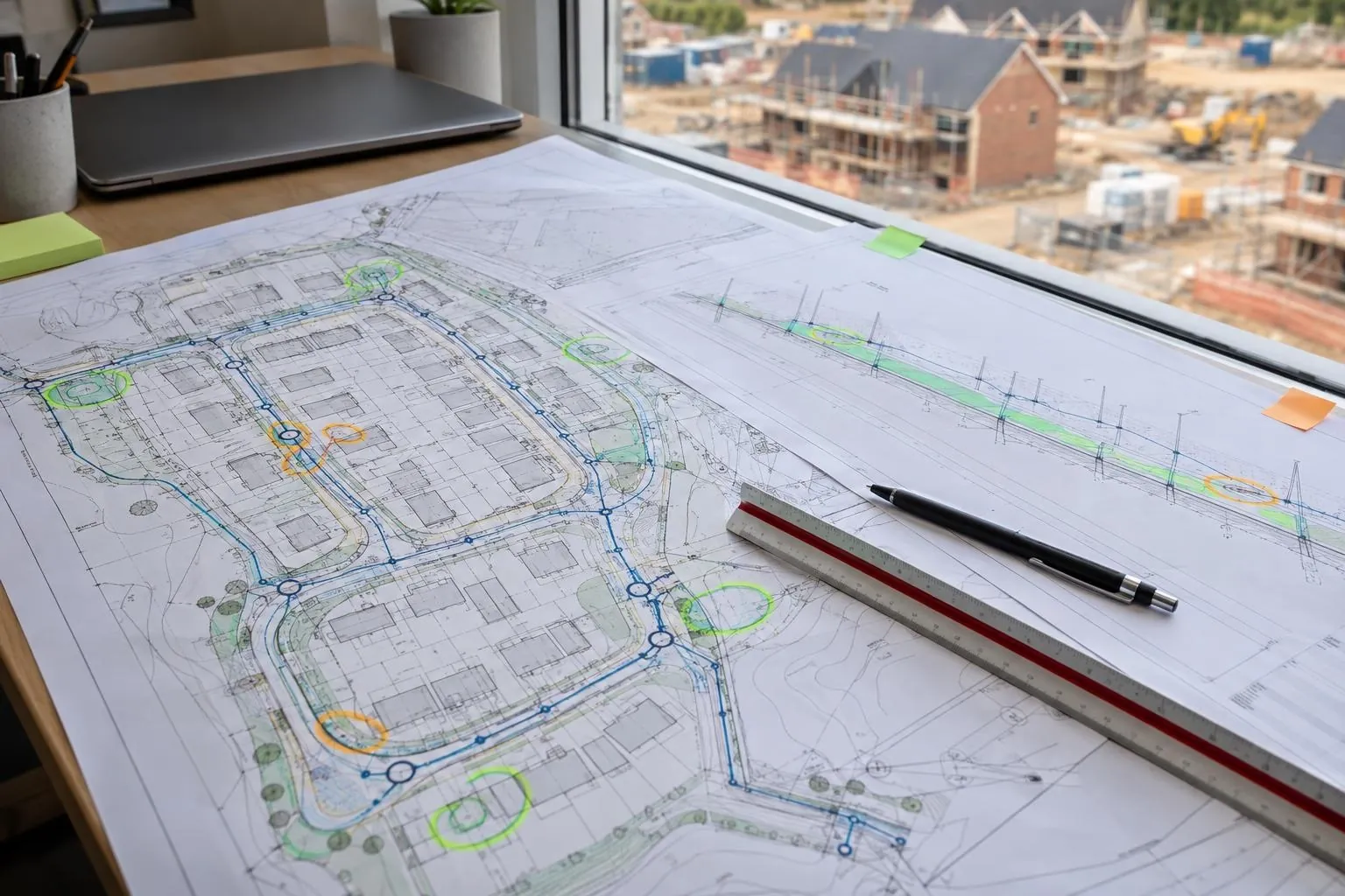
Groundworks and civils drawings reviewed before you dig, on any project: problems found on paper.
Already have a scan or your engineer's levels? We process your data and report against design, no visit needed.
A 3D laser survey of the whole garden. We capture the ground levels, the house wall and its damp-proof course, steps, walls, fences, trees, drains and manholes, then give you a scaled plan with levels and contours, plus the point cloud and a 3D model.
Levels decide almost everything in a garden build: how many steps, how high a retaining wall, where water drains, whether a patio sits 150 mm below the damp-proof course, and how much soil comes out. A design drawn without them is guesswork.
It covers the same ground for a domestic garden and goes further, because you get the full 3D scan as well as the drawn plan. For planning applications that need a survey on Ordnance Datum, tell us at booking and we'll tie the scan to it.
Most gardens are scanned in a single visit, and you don't need to be in for all of it. The levels plan follows in three to five working days.
No, we measure. The scan goes to your garden designer or landscaper. If you need a builder for the work, we can pass you to contractors who use our surveys.
Far more accurate than a garden design needs: points are measured to millimetres, and the levels plan shows spot levels and contours at 100 mm or your chosen interval. Our Trimble X9 is specified at 2.3 mm 3D point accuracy at 10 m. In practice the limit is what the scanner can see, so dense planting and clutter matter more than the instrument.
Generally at least 150 mm below the damp-proof course, with the patio falling away from the house. That gap stops rain splashing above the DPC and water bridging into the wall; level thresholds need a drainage channel and careful detailing. A garden scan records the DPC height, door thresholds and air bricks, so the designer sets patio levels from real numbers instead of finding the problem on site.
It records each tree's trunk position, spread and approximate height, which is what a garden designer needs for layout. It is not an arboricultural tree survey. If trees affect a planning application or foundations, a BS 5837 survey by an arboriculturist assesses condition, root protection areas and constraints. The scan gives them an accurate base plan to work on.
It finds what is visible: manholes, inspection chambers, gullies, downpipes and cover levels. A laser scanner cannot see buried pipes or cables, so drain runs between chambers are not shown. If you need those, a CCTV drain survey or utility trace is the right tool, and the results can be added to the scan plan by your designer.
Only where it can see it. The scanner needs a line of sight to the surface, so ground hidden under thick shrubs, hedges or long grass is not measured directly. We add set-ups to see behind walls and planting, which is why heavily planted gardens can take longer, and any area we could not capture is marked on the plan rather than guessed.
The levels plan comes as PDF and DWG, which opens in AutoCAD, Vectorworks and most landscape design packages. The point cloud is supplied in standard formats such as E57 or LAS. A cleaned 3D surface model in DWG or a SketchUp-ready format can be added for designers who model the garden in 3D.
Yes. Send the scan, drone survey or level data with the coordinate system it is in, and we produce a scaled levels plan with spot levels and contours for your designer. The plan can only show what the survey captured, so areas under dense planting or out of sight will be marked rather than guessed.
Send the drawing, the location and when you need it. We reply the same working day with a fixed price.