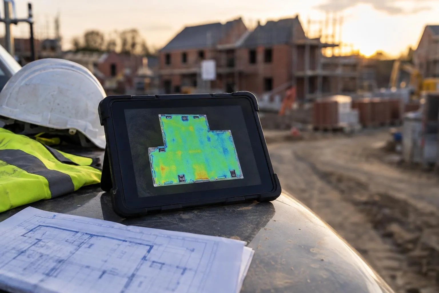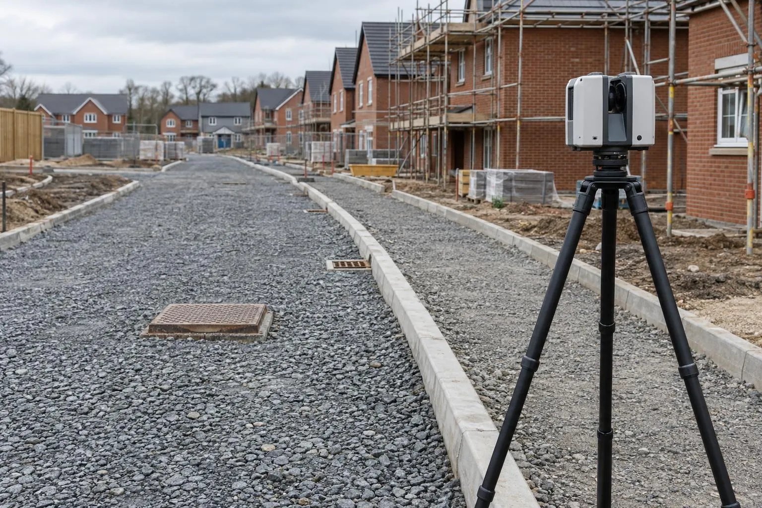
Road & sub-base scanning
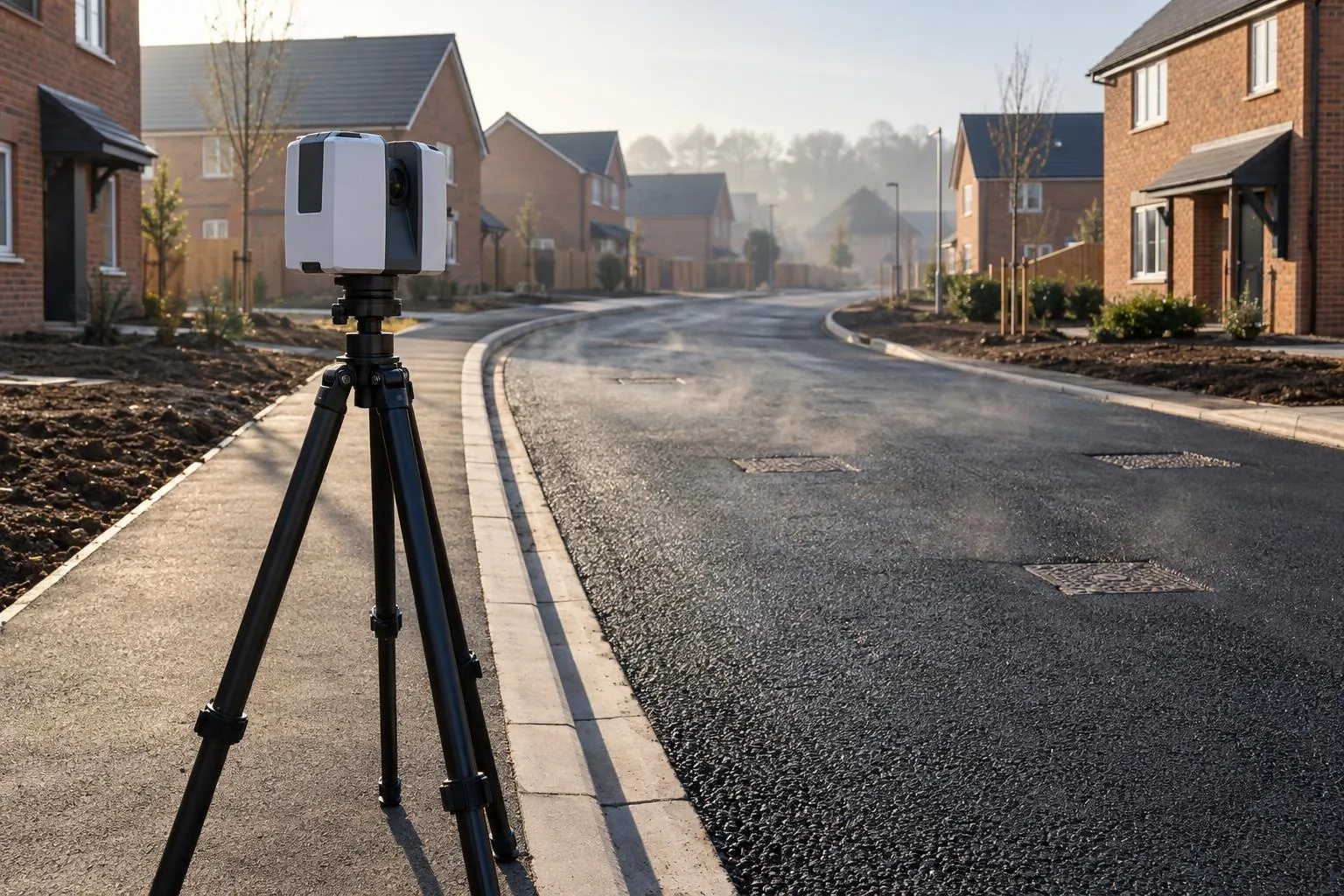
Sub-base and binder checked against the road design before the next layer goes on.
Plot & oversite scanning
Slab flatness, brickwork to drawing and drain collar positions, scanned around the gang and reported plot by plot. Catch the collar that's 50 mm out before it's under a kitchen floor.
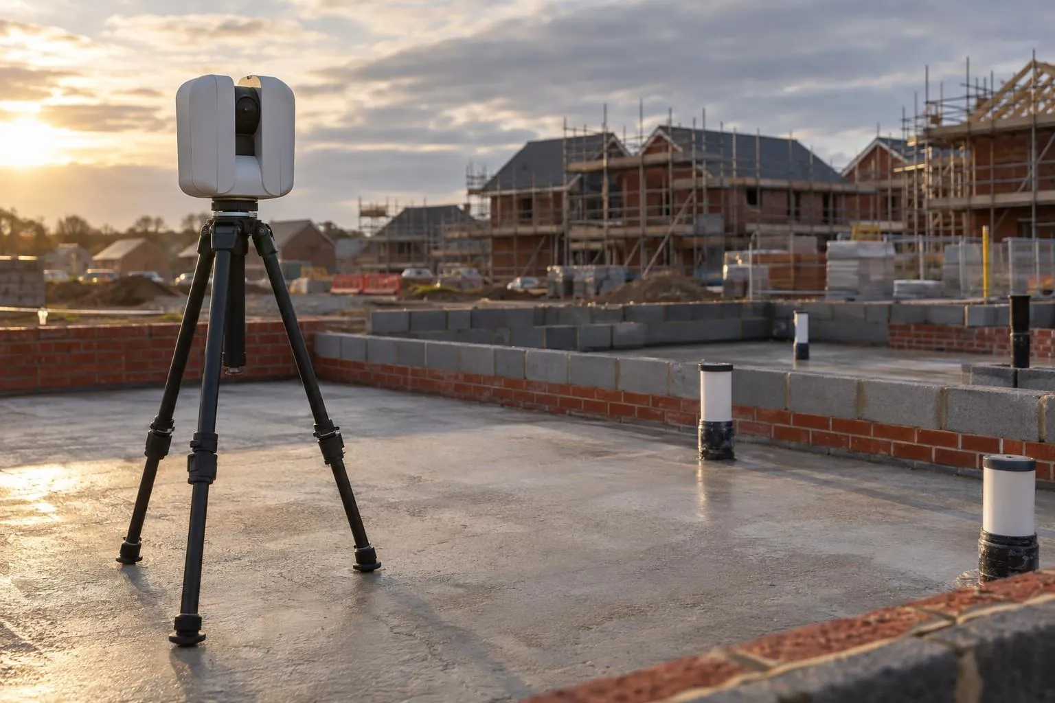
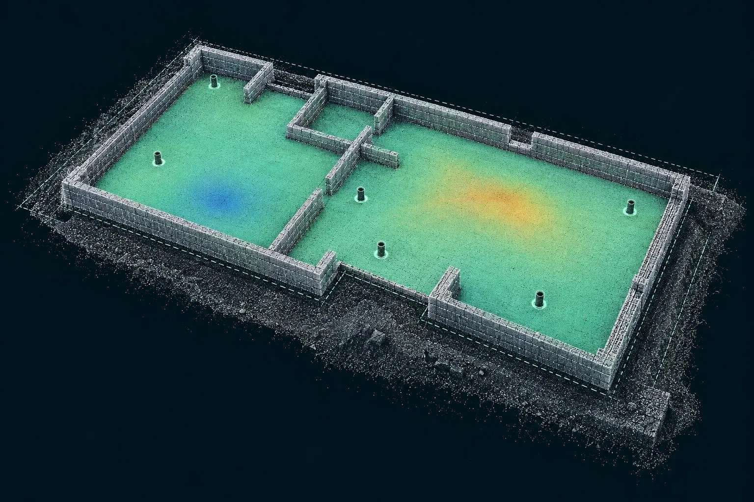
What it is: a laser scan of a house plot at oversite stage, compared with the house-type and drainage drawings. You get a one-page pass/fail per plot covering slab flatness, brickwork dimensions and drain collar positions, plus a heat-map and the point cloud.
The whole slab or floor surface is compared with a best-fit plane. The heat-map shows high and low areas, their size and depth, so you can see whether the floor screed or finish will take it up or whether it needs grinding or levelling. This checks the slab against itself; level to site datum is your engineer's.
External and internal wall lengths, widths and diagonals at DPC, compared with the drawing. Out-of-square plots, short walls and openings in the wrong place show up as numbers, not opinions. These are the dimensions the kit, frame or joist supplier is relying on.
Every soil, waste and rainwater collar coming through the slab is picked out of the scan and its centre compared with the drainage layout. A collar in the wrong place is a cheap fix at oversite and a very expensive one once the kitchen or bathroom is fitted.
Being clear about this matters. A report is only useful if everyone knows what it does and doesn't prove.
Oversite is the last point where the groundworker's work is fully visible. After it the frame or the first lift goes on, floors are covered, and the plot belongs to someone else's programme. Any defect found later becomes an argument about who caused it and who pays.
A dated scan settles that argument. It shows the plot exactly as it was handed over, measured to the millimetre. For groundworkers it is evidence the oversite was right. For housebuilders it is a consistent check across every plot, done the same way by the same method, instead of depending on who was on site with a tape that day.
It also fits around the job. We scan a run of plots in one visit, set up clear of the gang and the plant, and are gone before the next trade needs the plot.
One page per plot, written for the person who has to act on it.
Plot number, house type, scan date and an overall pass or fail.
Flatness heat-map, worst high and low, and the area outside tolerance.
Each measured dimension beside the drawing figure and the difference.
Each collar's offset from the drawing, flagged if it is outside your tolerance.
Scanning a full phase? Plot checks are priced per plot and get cheaper the more you batch. See the plot scan cost guide.
Scanning plots yourselves? If your site team already scans oversites, we can take the point clouds and turn them into the same one-page pass/fail report per plot, checked against each plot's house-type and drainage drawings. See reporting from your survey data.
Sub-base and binder checked against the road design before the next layer goes on.
Before-and-after scans that map the thickness actually laid, across the whole road.
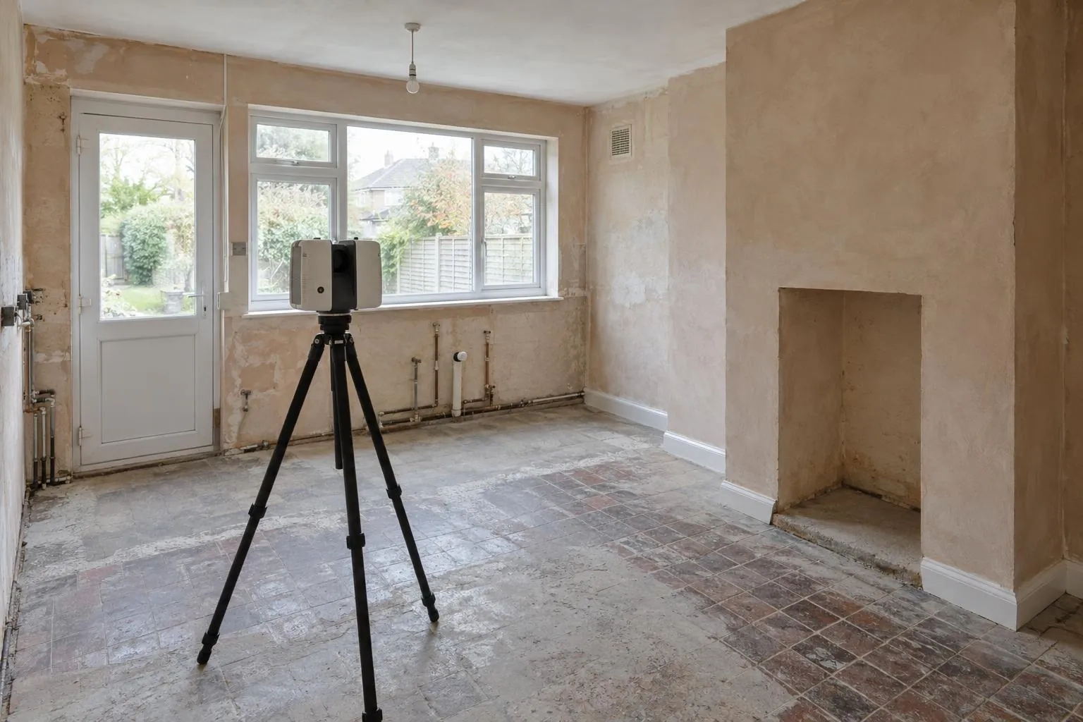
Millimetre-accurate scans of rooms and buildings for kitchens, extensions and interiors.
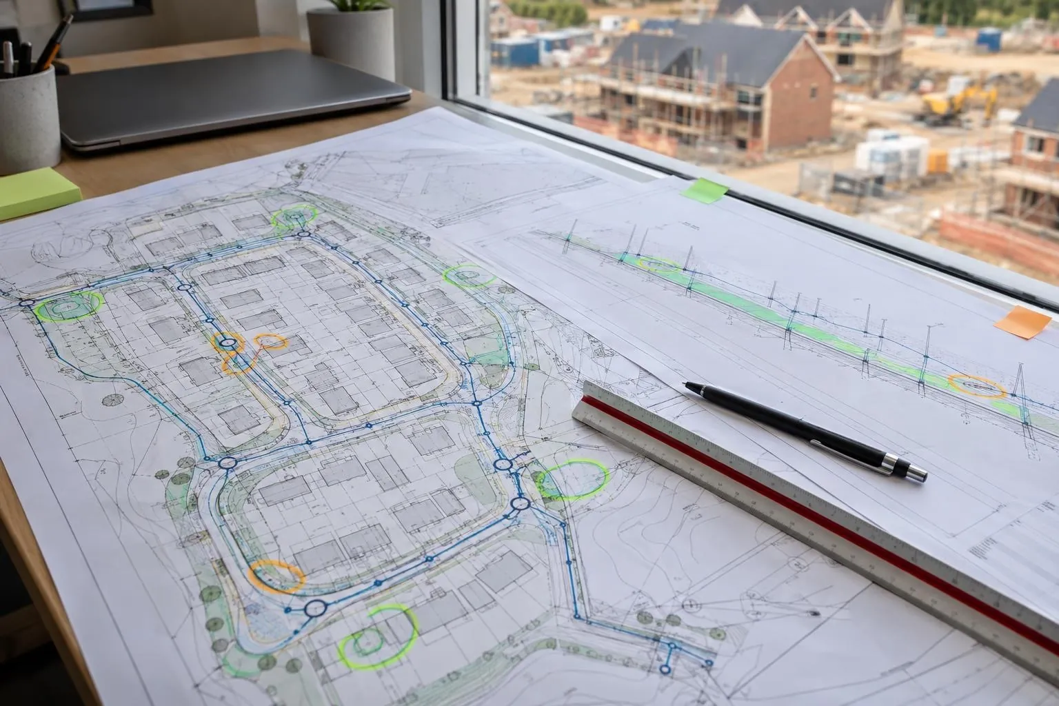
Groundworks and civils drawings reviewed before you dig, on any project: problems found on paper.
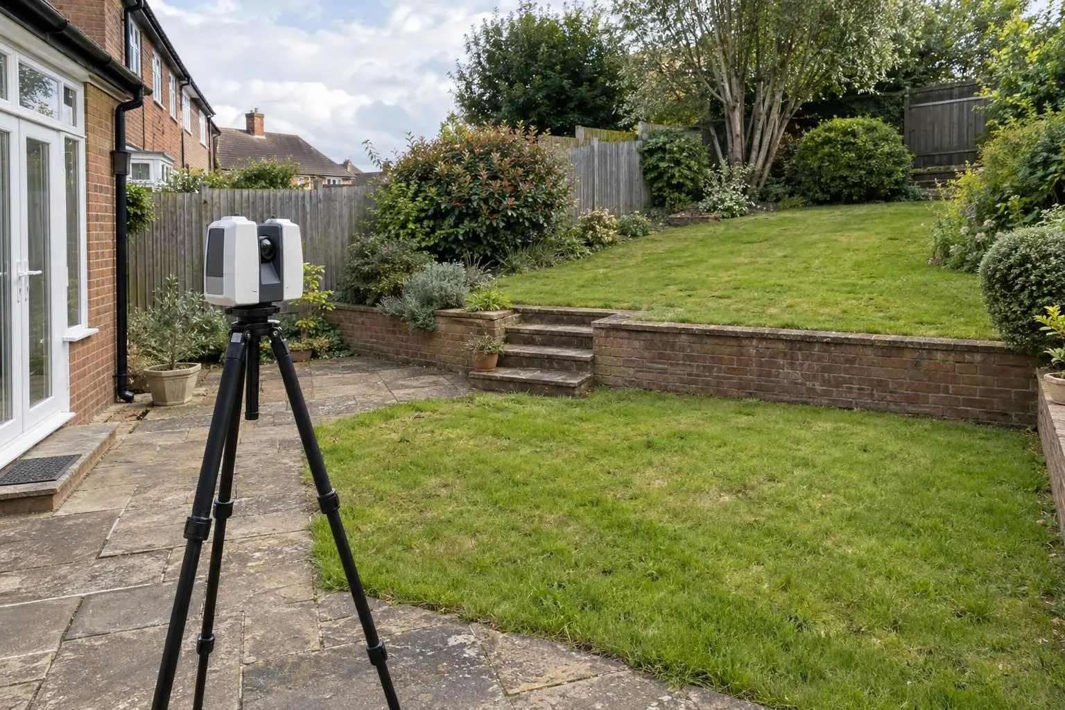
Every level, wall, tree and step captured for landscape designers and builders.
Already have a scan or your engineer's levels? We process your data and report against design, no visit needed.
Three things: the slab's flatness and level consistency across its surface, the brickwork and blockwork dimensions against the house-type drawing (lengths, widths, diagonals and openings at DPC), and the position of each drain collar against the drainage layout. Each gets its own pass or fail.
No. Plot position on the site grid and finished floor level to site datum stay with your setting-out engineer. We check the plot against its own drawing and against itself, which is where most oversite defects actually come from.
At oversite, once the slab or beam-and-block floor is down and the brickwork is up to DPC, and before the frame, kit or first lift goes on. At that stage everything is visible and still easy to correct.
No. We set up around the gang, scan while work carries on nearby, and are away before the next trade needs the plot. On a typical visit we scan a run of plots in one go.
The report shows exactly what failed and by how much: a collar 60 mm out of position, a wall 15 mm short, a high area on the slab with its extent. Your team can fix it while it is still easy, and we can rescan to close it out.
Groundworks contractors who want evidence their oversites are right before handing over to the builder, and housebuilders who want consistent, independent oversite checks across a site.
No. Neither NHBC nor building control requires a laser scan. Warranty and building control inspectors visit at key stages, but they do not measure every wall, collar and square metre of slab. A plot scan is a quality-control check the groundworker or housebuilder chooses to do, and a dated record of the oversite as handed over. It supports those inspections; it does not replace them or sign anything off.
The house-type drawings for each plot being scanned, the drainage layout showing soil, waste and rainwater collar positions, and the plot numbers. PDF or DWG is fine. Tell us the tolerances you work to for slab flatness, wall dimensions and collar positions, and the site's induction and access rules. Because the checks are against the plot's own drawings, we don't need site datum.
Whatever your specification, housebuilder standard or floor finish needs. Tell us the figure and the report flags any area outside it, with its size and depth. For reference, screed specifications often use the BS 8204 surface regularity classes (SR1, SR2 and SR3, allowing 3, 5 and 10 mm under a 2 m straightedge). The heat-map shows whether the screed or finish will take up a high or low area.
As clear as practical. The scanner measures only what it can see, so pallets of blocks, stacked materials or standing water on the slab hide the surface and any collars beneath them. Brickwork at DPC needs to be visible on both faces for wall dimensions. A plot that is mostly clear still scans fine; we note anything we couldn't see on the report rather than guess.
Yes. Send the plot point clouds, with the house-type and drainage drawings and your tolerances, and we produce the same one-page pass/fail report per plot covering slab flatness, brickwork dimensions and drain collar positions. We check the scan registration first and tell you if a plot's data can't support the check.
Send the drawing, the location and when you need it. We reply the same working day with a fixed price.