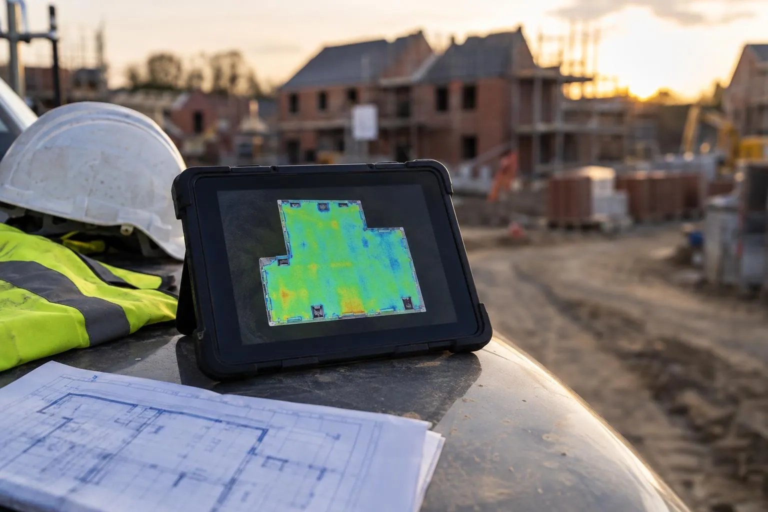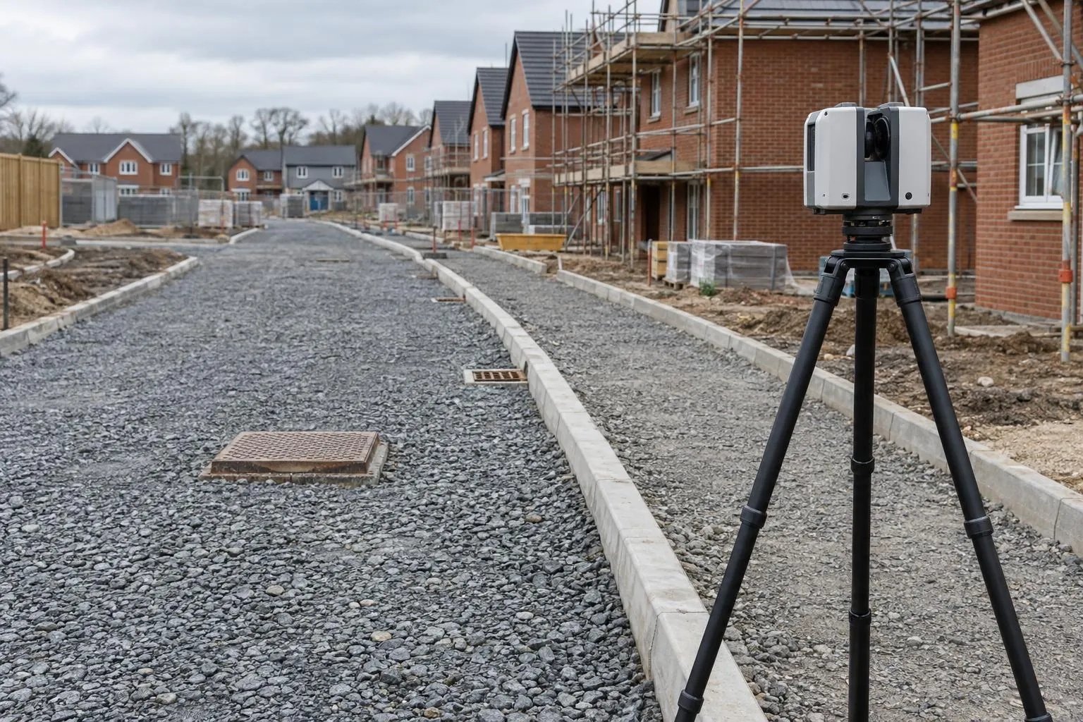
Road & sub-base scanning
Sub-base and binder checked against the road design before the next layer goes on.
Tarmac depth surveys
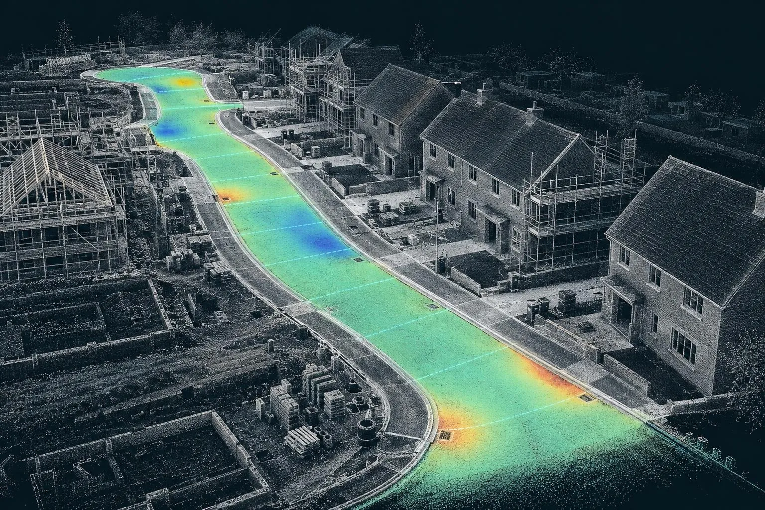
One scan before the asphalt, one after. The difference is the thickness at every point across the road, mapped, measured and checked against your spec, with no cores and no guesswork.
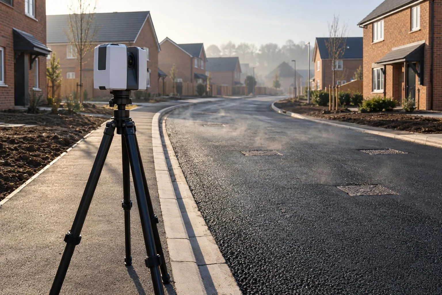
How it works: we laser scan the sub-base (or the binder) before it's covered, then scan again once the next layer is laid. Both scans sit on the same site control, so subtracting one surface from the other gives the compacted thickness at every point. The report shows a thickness map, the minimum, average and maximum, and the area under or over the tolerance.
Asphalt is bought by the tonne and specified by the millimetre. Lay it thin and the road fails early, the adoption engineer rejects it, or the defect turns up in the maintenance period. Lay it thick and the extra tonnage comes straight off the margin, often without anyone noticing until the final account.
Cores are the usual check, but a core is one 150 mm hole in hundreds of square metres. It confirms the thickness where it was drilled and nowhere else. A scan comparison gives you the thickness everywhere, including the edges, channels and around ironwork where shortfalls tend to hide.
A depth survey needs a "before" surface. Once the binder is down, the sub-base is gone for good. Let us know when the road is programmed and we'll scan the sub-base as part of a normal road and sub-base scan, which also checks it against design before you surface it.
Councils publish their own. As an example, Lincolnshire County Council's estate road guide allows ±6 mm on binder and surface course thickness and +40/−0 mm on sub-base thickness. We report against whichever applies to your road.
Prove the thickness to the client and the adoption engineer, and catch a short layer before the surfacing crew leaves site.
Independent evidence for section 38 sign-off, and a permanent record of what went into the road.
Defend your work with full-coverage data when the cores come back borderline.
Check the tonnage laid against the tonnage invoiced.
Got your own before and after surveys? If your engineer or a drone survey captured the layer underneath before it was covered, we can work out the thickness laid from that data and the finished surface, whoever surveyed them. See reporting from your survey data.
See the tarmac depth survey cost guide for prices.
Sub-base and binder checked against the road design before the next layer goes on.
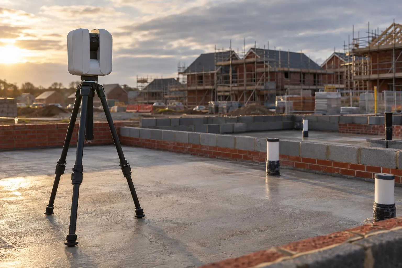
Slab flatness, brickwork to drawing and drain collar positions, checked plot by plot.
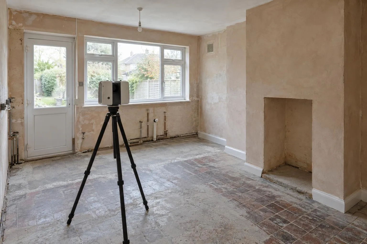
Millimetre-accurate scans of rooms and buildings for kitchens, extensions and interiors.
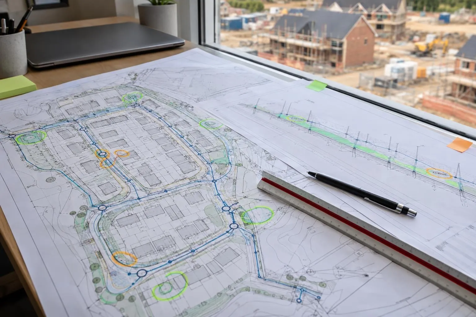
Groundworks and civils drawings reviewed before you dig, on any project: problems found on paper.
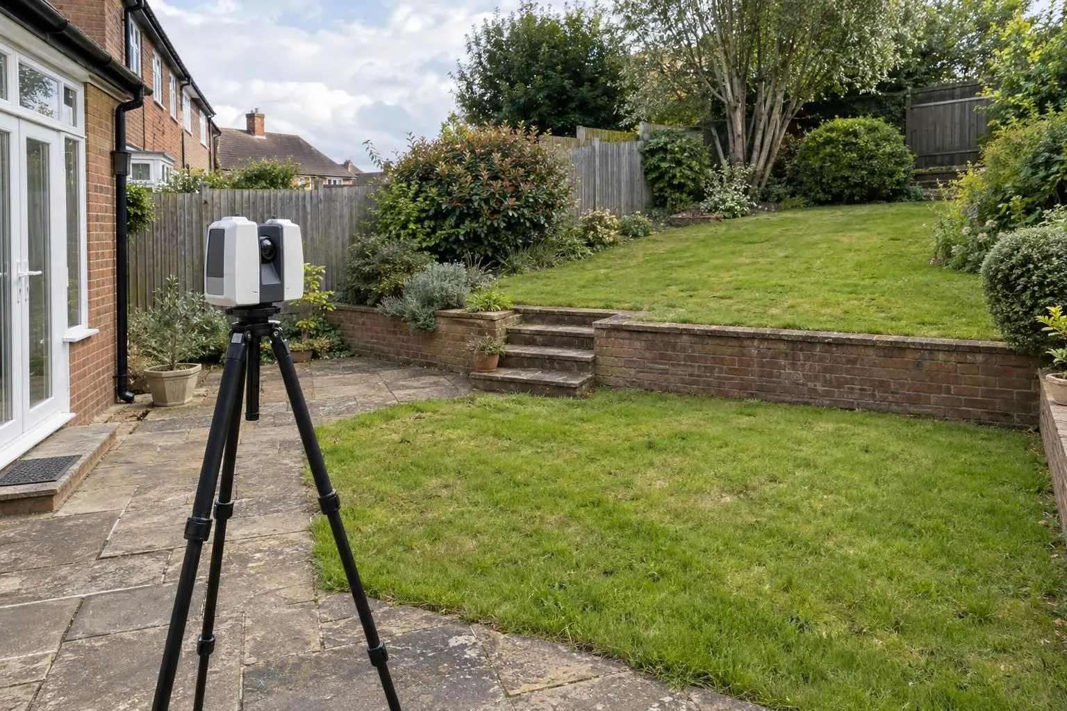
Every level, wall, tree and step captured for landscape designers and builders.
Already have a scan or your engineer's levels? We process your data and report against design, no visit needed.
We scan the layer underneath before the tarmac goes down and scan the finished surface afterwards. Both scans are tied to the same site control, so the vertical difference between them at any point is the thickness laid there. It is non-destructive and covers the whole area, not just the core locations.
Only if the layer below was scanned or accurately levelled first. Without a 'before' surface there's nothing to measure the thickness from, and coring is the only option. That's why we recommend booking the sub-base scan as soon as the road is programmed.
That's the adopting authority's call. Many accept full-coverage scan data alongside a reduced number of cores, and it shows them exactly where to core. We provide the data in a form their engineer can check.
Each scan is registered to the same control and we state the registration error on the report. In practice the thickness measurement is good to a few millimetres, which is well inside a ±6 mm binder or surface course tolerance. Where the margin is tight, we say so.
On a single driveway or a short cul-de-sac, a few cores or dips may be enough. Scanning pays off on estate roads, car parks and anywhere a shortfall would be expensive to take up and relay.
The adopting authority's specification sets it, and it varies between councils. As a published example, Lincolnshire County Council allows ±6 mm on binder and surface course thickness and +40/-0 mm on sub-base thickness. Your section 38 agreement or road specification gives the figure for your site. Tell us what applies and the thickness report shows how much of the road falls inside it, and where it doesn't.
Yes, as long as each layer is scanned before the next one covers it. Scanning the sub-base, then the binder, then the surface course gives a separate thickness map for each bituminous layer. Adding the surface course to a binder survey on the same road shares the set-up and travel, so it costs less than surveying it on its own.
Yes, approximately. The thickness map gives the compacted volume laid, which we convert to tonnes at the density you give us. It is an estimate from the scan rather than a weighbridge figure, but it is usually close enough to show whether deliveries match the take-off, or whether a layer was laid thick and the extra tonnage has gone unnoticed until the final account.
It can, but the result is only as good as those levels. If the sub-base was accurately levelled on a grid before it was covered, we can build the 'before' surface from that data, tied to the same control. The thickness between grid points is then interpolated rather than measured. A scan of the sub-base gives a far denser, more reliable starting surface.
They answer different situations. Ground-penetrating radar estimates layer thickness on roads that are already surfaced by reading reflections along survey lines, and is normally calibrated against cores. A before-and-after scan measures the thickness laid directly across the whole surface, but only works if the layer underneath was scanned first. On new estate roads, the scan method is simpler; on existing roads, radar or coring is the realistic option.
Yes, if the layer underneath was surveyed before it was covered. Send the 'before' and 'after' data, scans, drone surveys or levels, tied to the same control, and we map the thickness laid against your specification. Denser data gives a more reliable map; with grid levels the thickness between points is interpolated.
Send the drawing, the location and when you need it. We reply the same working day with a fixed price.