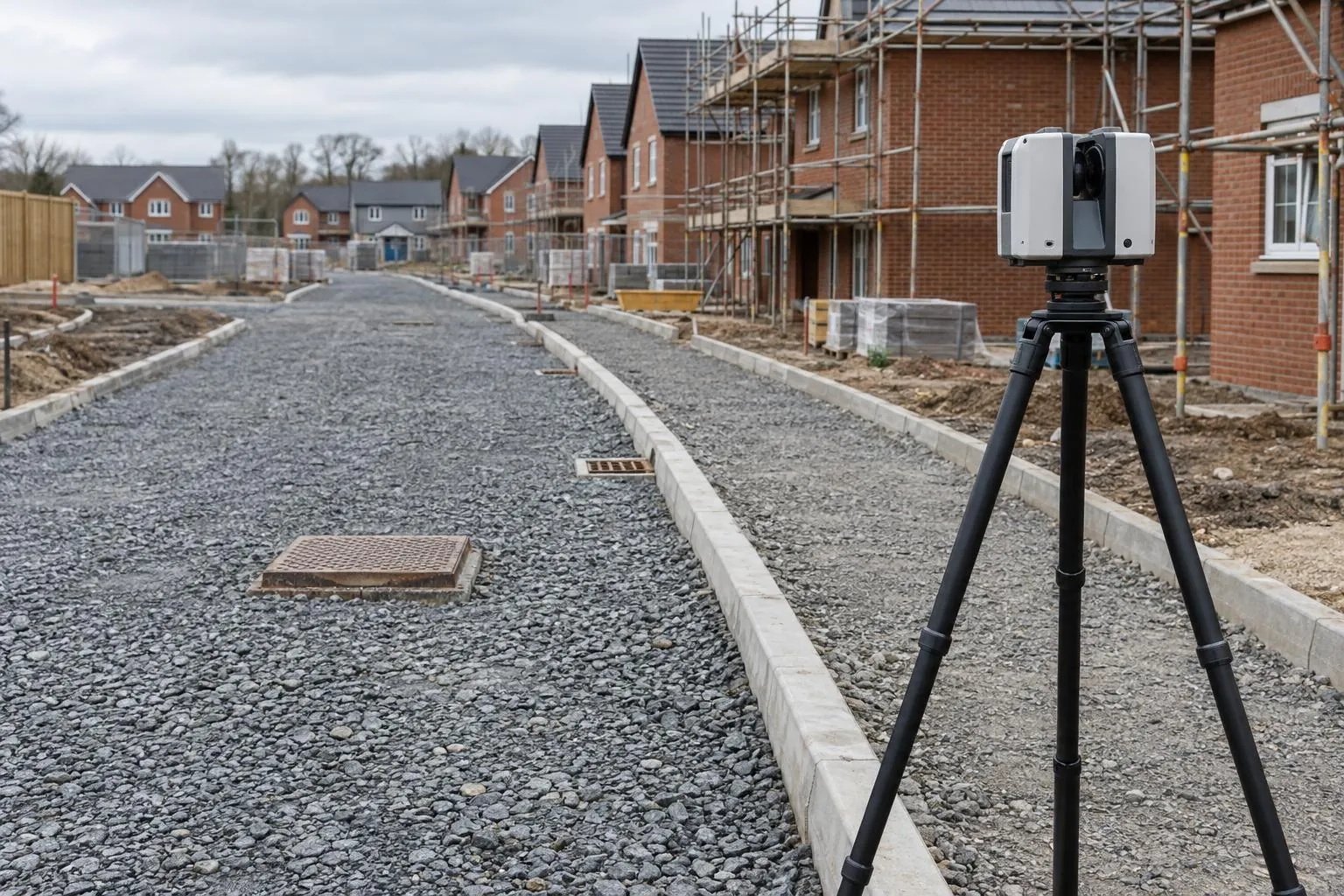
Road & sub-base scanning
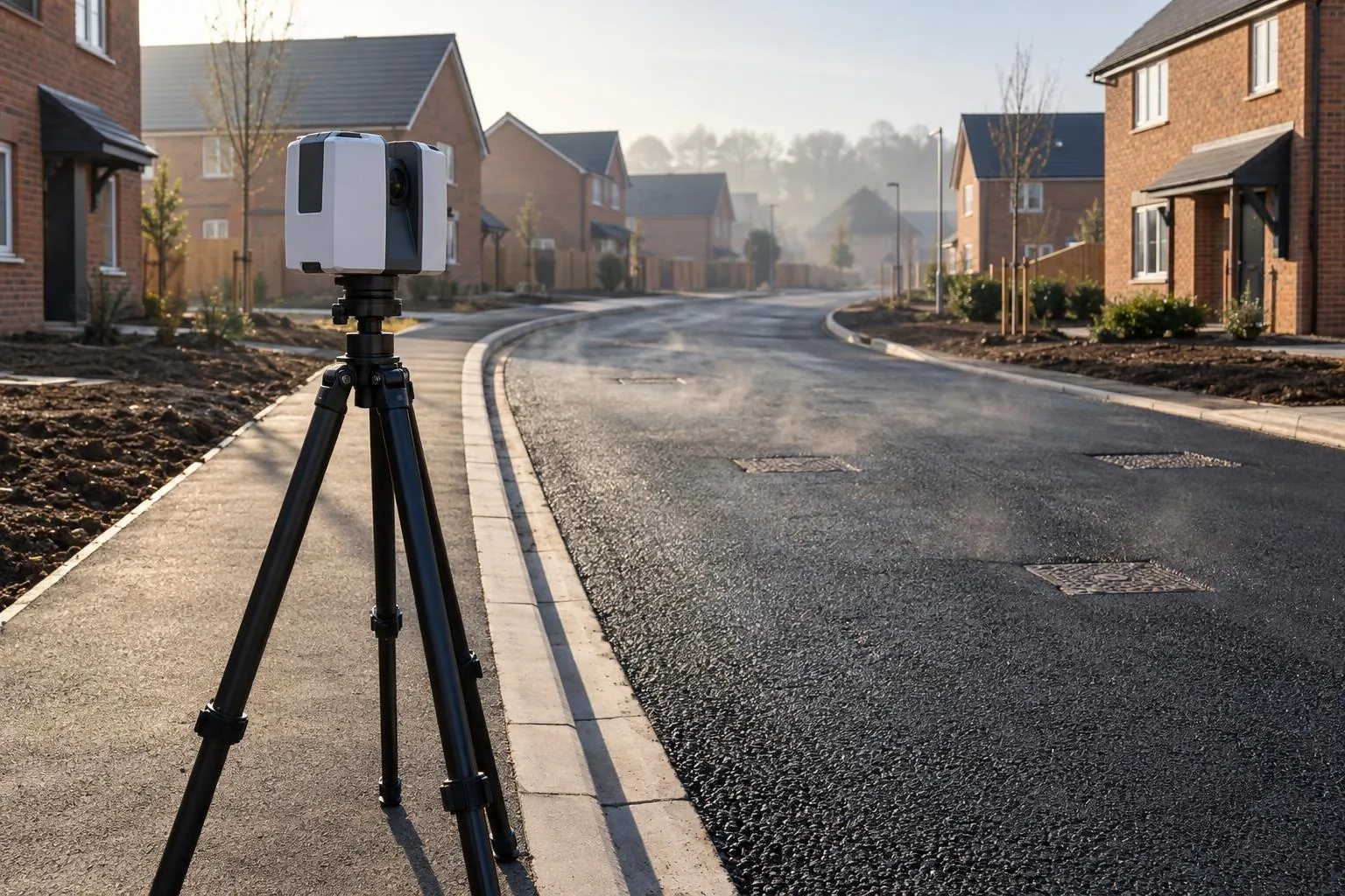
Sub-base and binder checked against the road design before the next layer goes on.
Peterborough & Stamford
Site QC for Peterborough's housing growth, and precise 3D surveys for everything from new-build plots to Stamford's stone houses, along the A1 from Stamford to the city.
Covering: Peterborough and its townships, Stamford, Bourne, Market Deeping, Oundle and Yaxley. Every Dimensure service is available, all inside our standard travel radius.
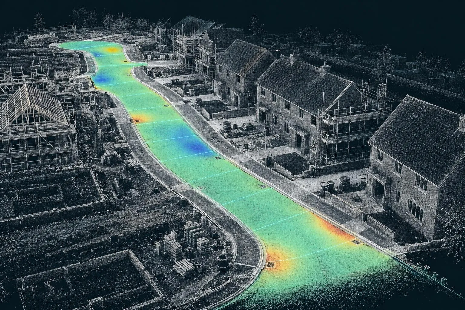
Peterborough has grown through planned townships for decades, from Hampton in the south to Paston Reserve in the north, and new phases keep coming. For groundworkers and housebuilders that means a constant flow of estate roads and plots to check. We scan sub-base and binder against design, map tarmac thickness for adoption, and check plots at oversite in batches to keep the per-plot cost low.
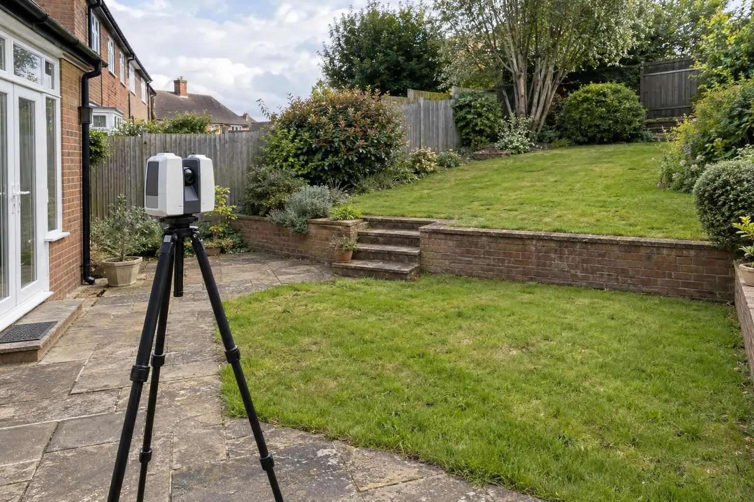
Stamford's limestone buildings are some of the most distinctive in England, and almost none of them are square. Whether it's an extension, a new kitchen in a period house or a design for a walled garden, a laser scan survey records every irregular wall, deep reveal and uneven floor exactly. Because the scanner never touches the building, it suits listed and conservation-area properties well, and the garden scan does the same for stone walls, steps and terraces outside.
Every service, with full details and prices.
Sub-base and binder checked against the road design before the next layer goes on.
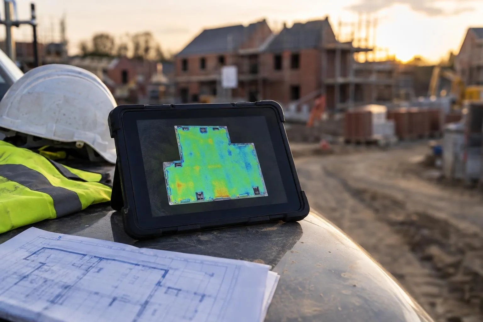
Before-and-after scans that map the thickness actually laid, across the whole road.
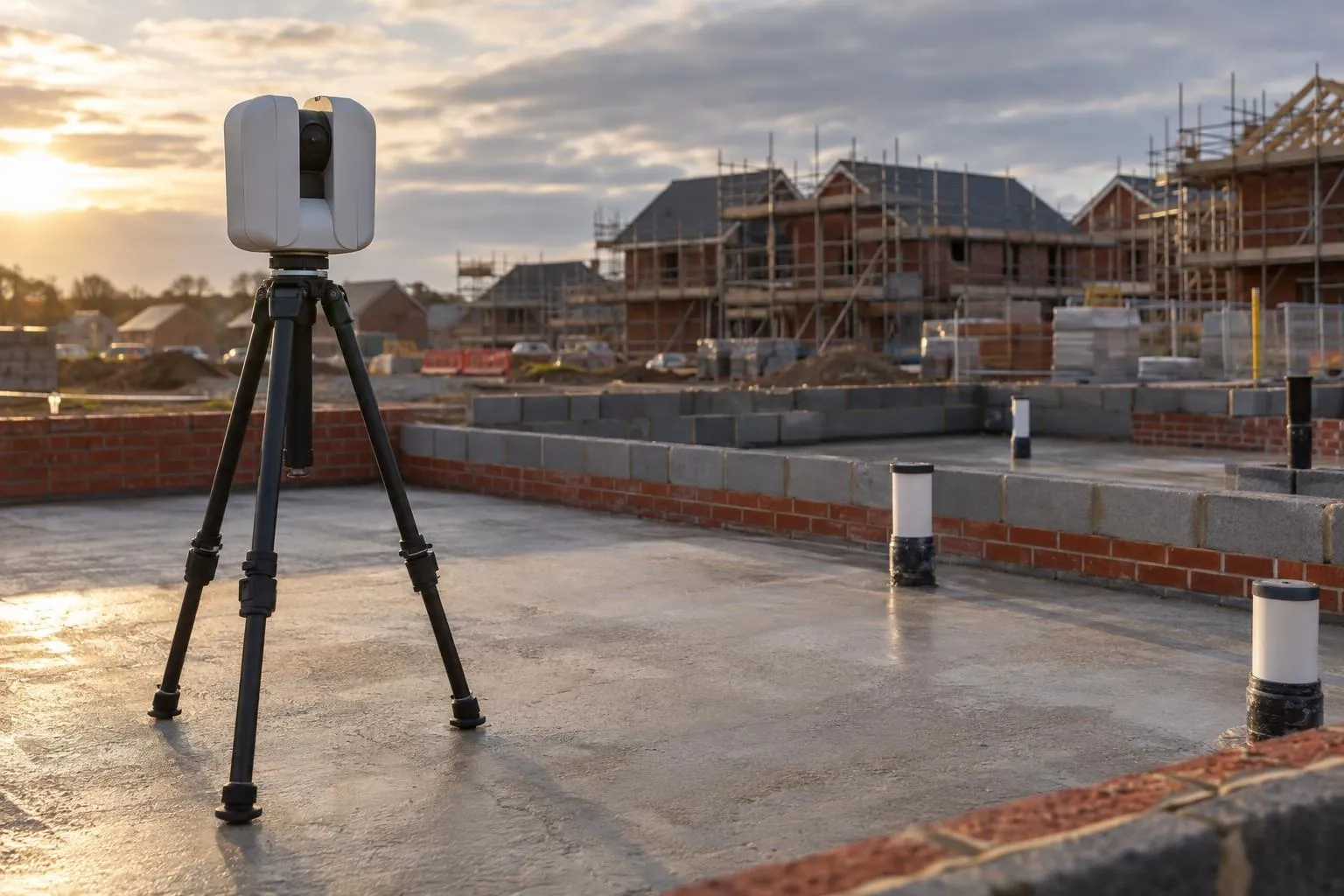
Slab flatness, brickwork to drawing and drain collar positions, checked plot by plot.
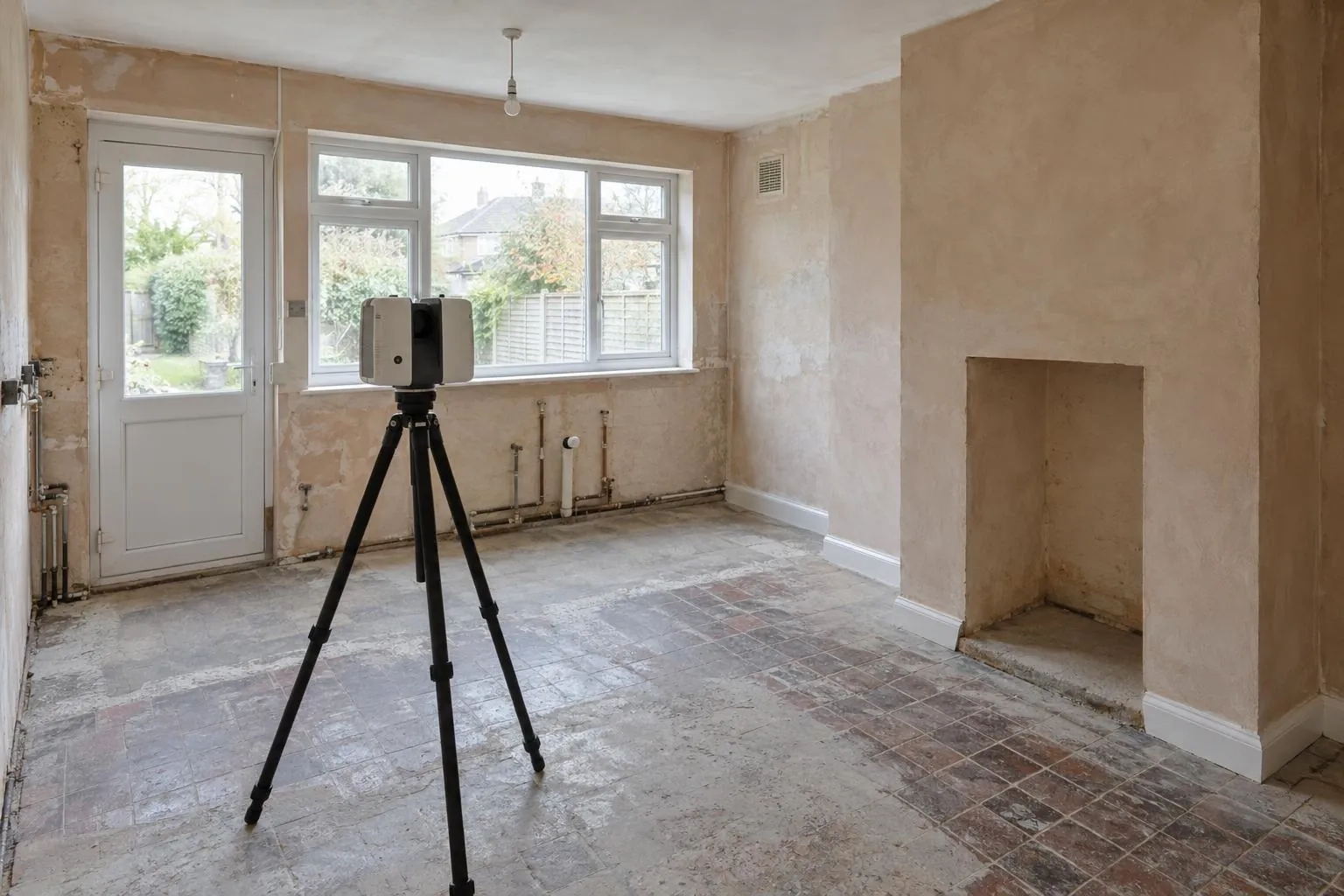
Millimetre-accurate scans of rooms and buildings for kitchens, extensions and interiors.
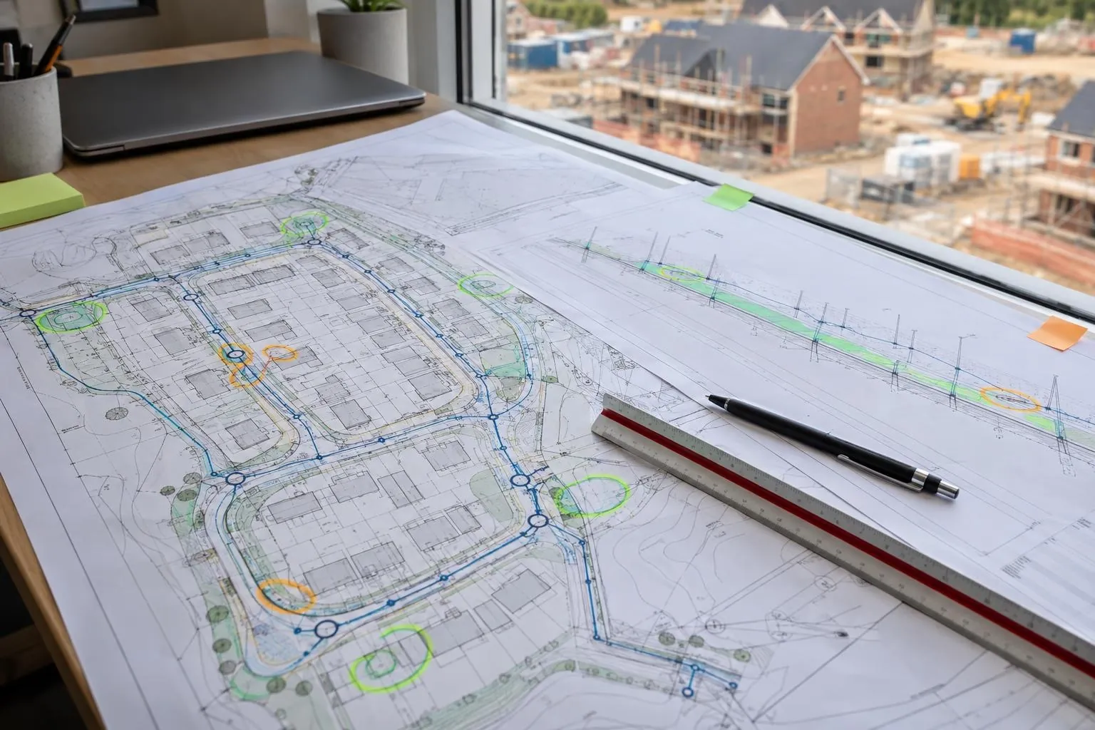
Groundworks and civils drawings reviewed before you dig, on any project: problems found on paper.
Every level, wall, tree and step captured for landscape designers and builders.
Already have a scan or your engineer's levels? We process your data and report against design, no visit needed.
Yes. Hampton, Paston and the newer growth areas to the south and east of the city are all covered, along with the older city and its villages.
Yes. Laser scanning is ideal for historic buildings because it measures without touching anything and captures irregular stonework exactly as it is. Your conservation architect gets plans, elevations and the full point cloud.
No. Peterborough, Stamford, Bourne and the surrounding area are all within our standard 50-mile travel radius from Corby.
Send the drawing, the location and when you need it. We reply the same working day with a fixed price.