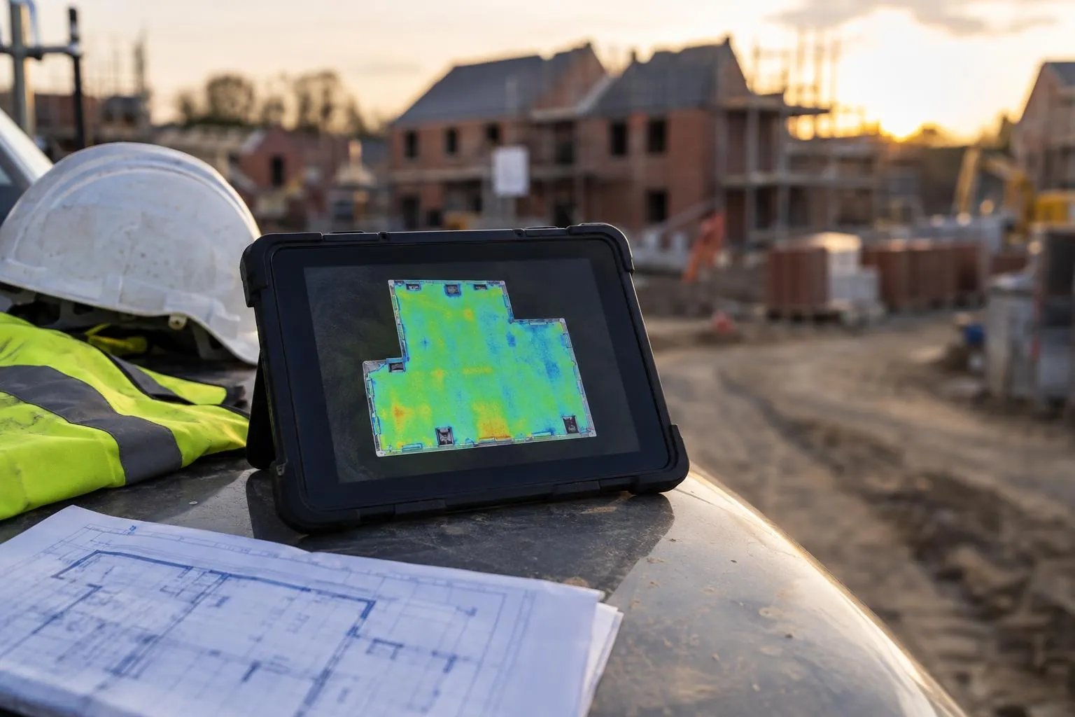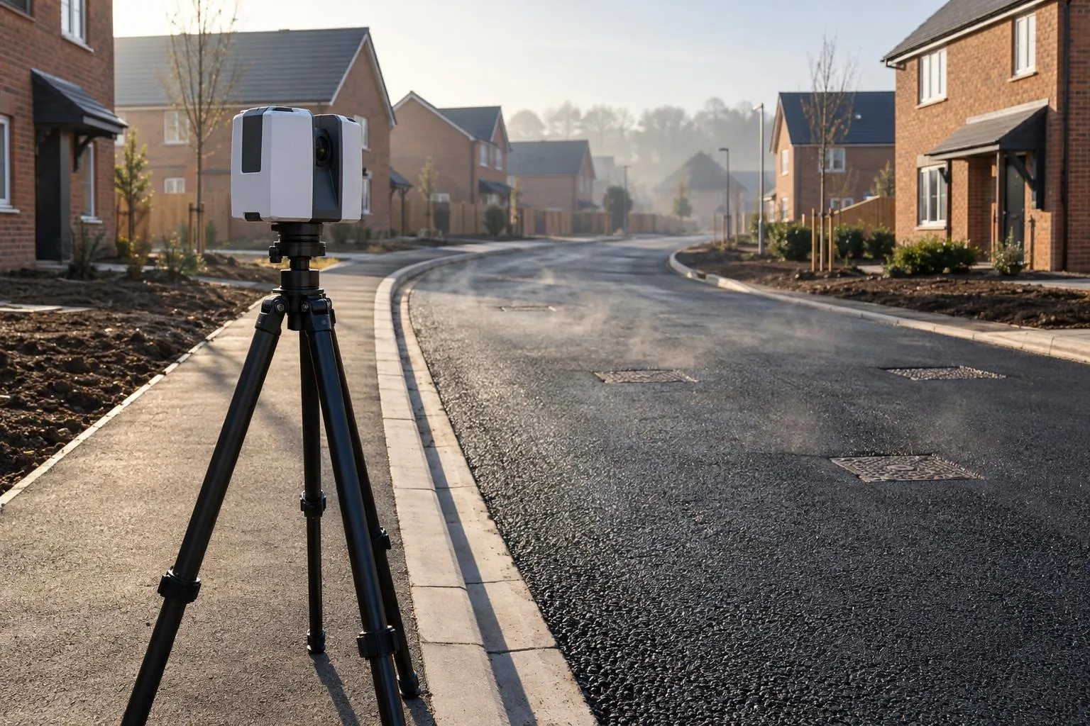
Tarmac depth surveys
Before-and-after scans that map the thickness actually laid, across the whole road.
Road & sub-base scanning
Scan the sub-base before the binder goes down and know, across every square metre, whether it is high, low or right. A next-day report your engineer and the adoption inspector can both read.
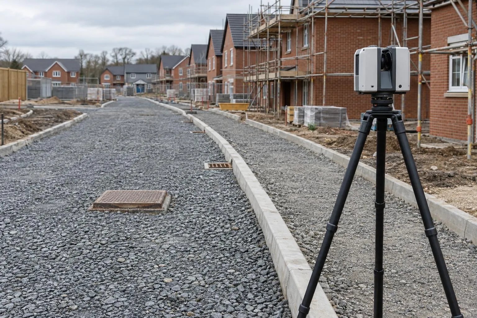
What it is: a terrestrial laser scan of a road layer, lined up with your site control and compared with the design surface. Every point is coloured by how far it sits above or below design, and the report states pass or fail against your tolerance, chainage by chainage.
A dip check with a level and staff, or a GPS rover, measures a point every few metres along the centreline and channels. That is a sample. If the high spot sits between two readings, nobody finds it until the binder is down and the finished level is wrong, or until water sits in the channel after adoption.
A laser scan measures the whole layer. Hundreds of thousands of points a second, kerb face to kerb face, including the bits nobody dips: around ironwork, at tie-ins, across turning heads and at the back of footpaths. The comparison with design then runs across all of it.
We check against the tolerance in your specification or your adopting authority's estate road guide. They differ between councils, so we always ask. As one published example, Lincolnshire County Council's estate road build tolerances are:
| Layer | Surface level tolerance | Layer thickness tolerance |
|---|---|---|
| Sub-base | +10 / −30 mm | +40 / −0 mm |
| Binder course | ±6 mm | ±6 mm |
| Surface course | ±6 mm | ±6 mm |
Example only. Your section 38 agreement or specification sets the tolerance we report against.
The tight figures are on the bituminous layers, which is exactly why the sub-base matters. Every millimetre the sub-base is high comes straight off the binder, and an under-thickness binder is a defect the adoption engineer can ask you to take up. Checking the sub-base surface is the cheapest point in the job to put it right.
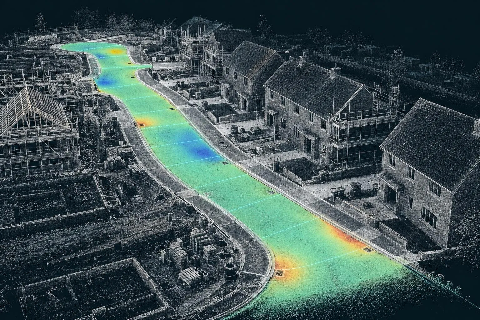
We work under your site induction and RAMS, wear the right PPE, and keep the scanner and tripod out of plant routes. Scanning is safe around people: the X9 uses an eye-safe Class 1 laser.
Most contractors use a road scan at one or more of these hold points:
Confirm dig depth before the membrane and stone go in, and record the volume taken out.
The main check. Trim or top up before the binder crew arrives.
Record the binder before it's covered for years, and capture its thickness if we scanned the sub-base.
Final levels and thickness for adoption, and a record if there's ever a dispute.
Want the thickness of each bituminous layer too? See tarmac depth surveys. Need a price first? Read the road scanning cost guide.
Already surveyed the road? If your site engineer has scanned or levelled the sub-base or binder, you don't need us on site. Send the data and the design and we'll produce the same heat-map, pass/fail and cross sections from it. See reporting from your survey data.
Before-and-after scans that map the thickness actually laid, across the whole road.
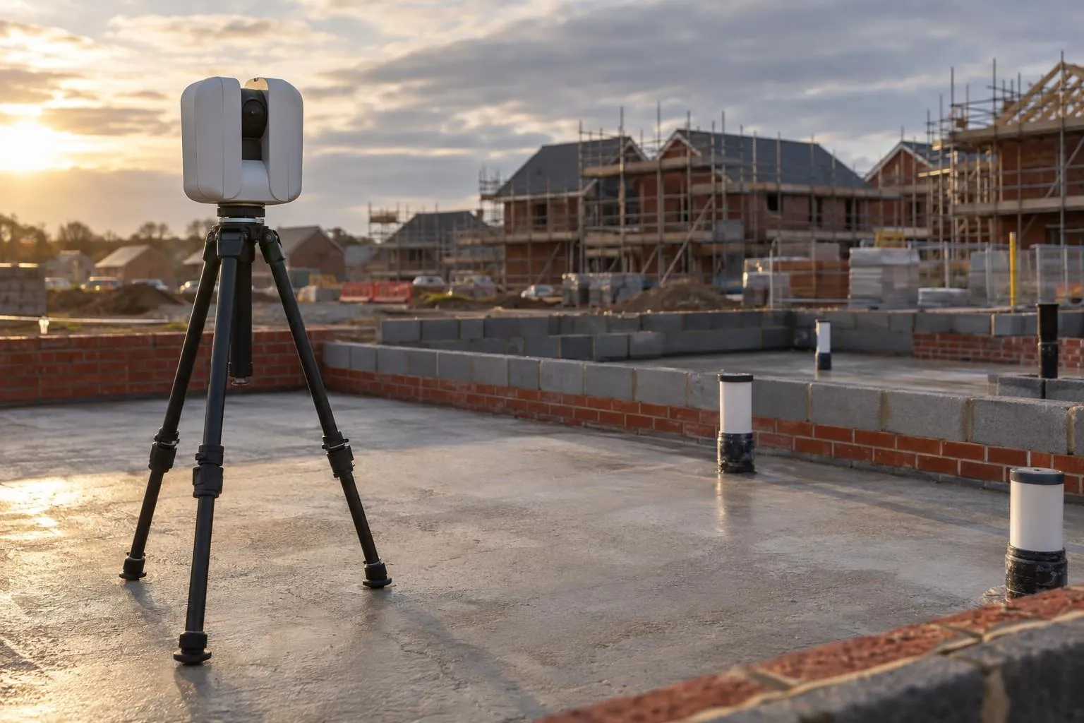
Slab flatness, brickwork to drawing and drain collar positions, checked plot by plot.
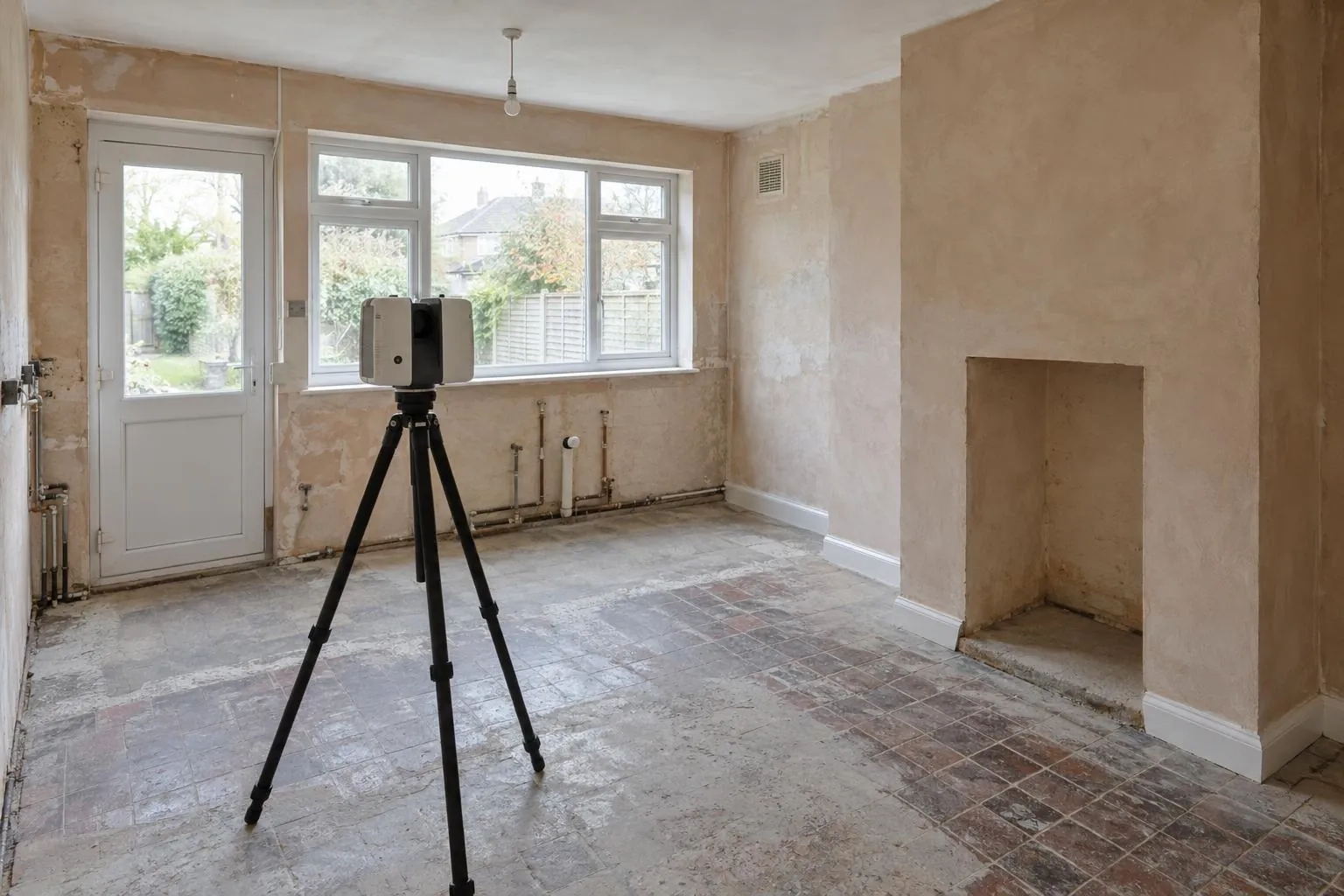
Millimetre-accurate scans of rooms and buildings for kitchens, extensions and interiors.
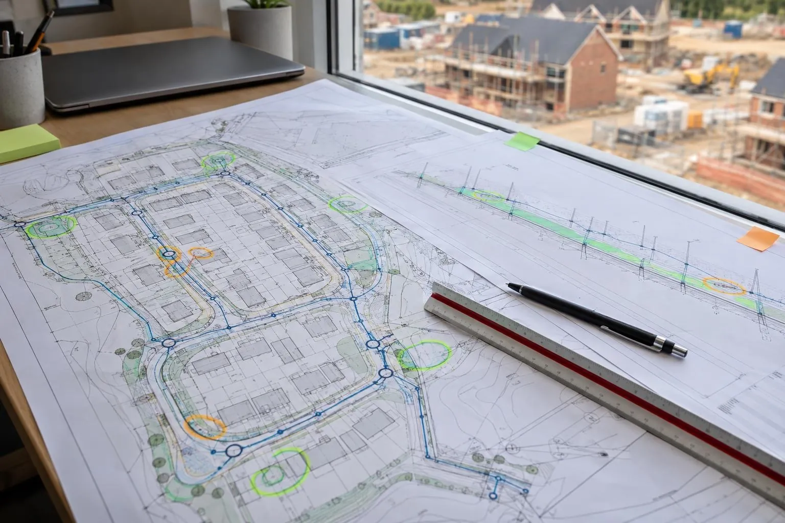
Groundworks and civils drawings reviewed before you dig, on any project: problems found on paper.
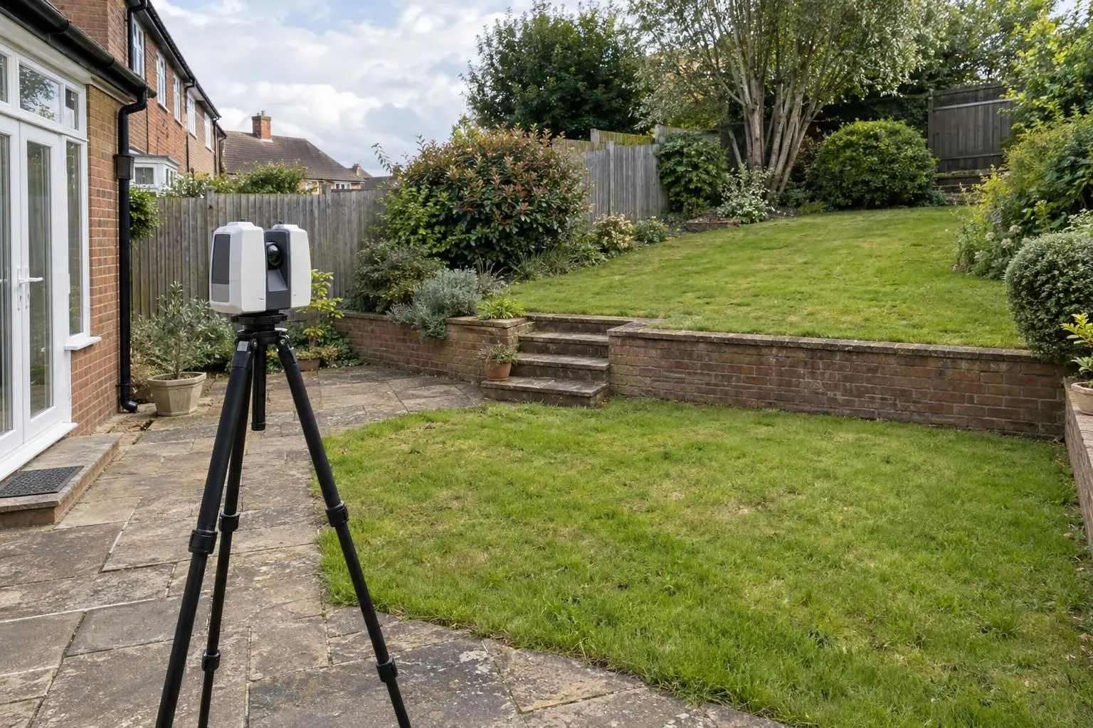
Every level, wall, tree and step captured for landscape designers and builders.
Already have a scan or your engineer's levels? We process your data and report against design, no visit needed.
Yes. We tie the scan to your site control, compare every point on the sub-base with the design surface from your long sections, cross sections or 3D model, and report the deviation across the whole road against the tolerance you work to.
Whatever your specification or adopting authority uses. As an example, Lincolnshire County Council's published estate road tolerances are +10/-30 mm on sub-base surface level and ±6 mm on binder and surface course. Tell us yours and it goes on the report.
The road design (long and cross sections, a 3D design surface or a DWG with levels) and two or three site control points or benchmarks we can tie into. If you only have 2D drawings with levels, we build the design surface from them.
Typically 200 to 300 metres of estate road and footpaths in a half-day, depending on bends, parked plant and how much needs scanning either side. Longer runs are done as a full day.
Rarely. We leapfrog the scanner along the road and work around the gang. Machines can keep working a safe distance away; we only need the section being scanned to be clear while the scanner is turning.
It is the first half of one. If we scan the sub-base and then rescan the finished surface, the difference between the two is the thickness laid at every point. See our tarmac depth surveys page.
For checking a finished layer, usually yes. An RTK GPS rover measures one point at a time and is typically good to around 15 to 30 mm in height in real site conditions, which is coarse against a ±6 mm binder tolerance. A laser scan measures the whole surface kerb to kerb, so a high spot between dips still shows up. Rovers remain the right tool for setting out and day-to-day control, and many sites use both.
Accurate enough to check estate road tolerances, with the margin stated on every report. Our Trimble X9 is specified at 2.3 mm 3D point accuracy at 10 m, and we set up every 15 to 25 m so the surface being checked stays close to the scanner. Each report gives the registration error for that job. If the data is not tight enough for the tolerance, for example because of standing water, we say so and rescan.
Yes. Scanning the formation before the membrane and stone go in confirms the dig depth against design across the whole road, and records the volume taken out. That gives you evidence for the muck-away and a check that the sub-base will finish at the right thickness. Volumes are an extra deliverable, so mention them when you book and they are included in the fixed price.
They are accepted as supporting evidence, but they do not replace the adopting authority's own inspections under your section 38 agreement. The report shows level and deviation across the whole layer against the tolerance you give us, with a dated point cloud the authority's engineer can check. Many contractors use it to prove a layer before calling the inspector, so the inspection becomes a formality rather than a discovery.
Light drizzle, cold and wind are usually fine, but heavy rain and standing water are not. Water lying on a sub-base or binder distorts the readings, and a puddle in a channel hides the very low spot you are trying to find. If the weather is wrong for the check, we rebook at no charge rather than issue a pass we can't stand behind.
Yes. Send the scan or the level data with the road design, the control and your tolerance, and we compare it with design and produce the usual heat-map, pass/fail and cross sections, with no site visit. With rover or total station levels the surface between points is interpolated, and the report says so.
Send the drawing, the location and when you need it. We reply the same working day with a fixed price.